
Five Major Weather Events of 2019 and Strong Winds are Coming
The National Weather Service has compiled the five major weather events that occurred in 2019, as well as looking ahead to a significant wind event headed towards western Montana this weekend.
Senior forecaster Bob Nester has put together a Power Point presentation that looks back on 2019 just ended.
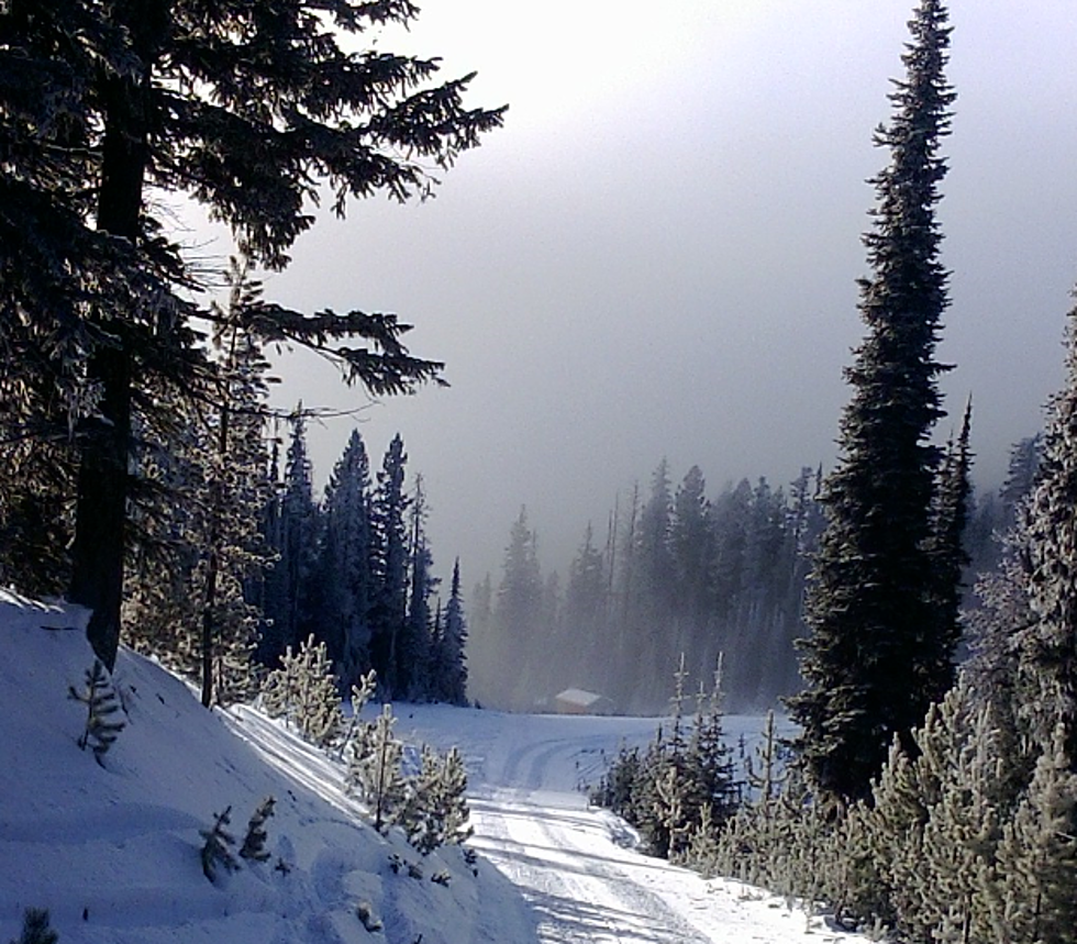
“2019 itself across western Montana was probably the coldest year for average temperatures since 1996,” said Nester. “People probably remember that February through mid-March was one of our coldest and snowiest periods for that time frame, and in fact we still had six inches of snow on the ground around the third week of March which is the latest in the year that we’ve had that much snow on the ground.”
Nester pointed to a flooding event that also made the list.
“One of the other big events in the Northern Rockies was the flooding event over in Stites, Idaho,” he said. “Most people also remember an historic winter storm for that time of year which occurred on September 28th and 29th where we had one to two inches of snow in late September which is one of the earliest dates we’ve had measurable snowfall in Missoula.”
Nester also pointed to a major wind event that swept through northwestern Montana.
“A big strong wind event on November 26th and 27th mainly across northwestern Montana that did quite a bit of damage to docks up in the Flathead and also caused several power outages in that area,” he said.
That led to the present situation which Nester said a powerful wind event will affect western Montana this weekend.
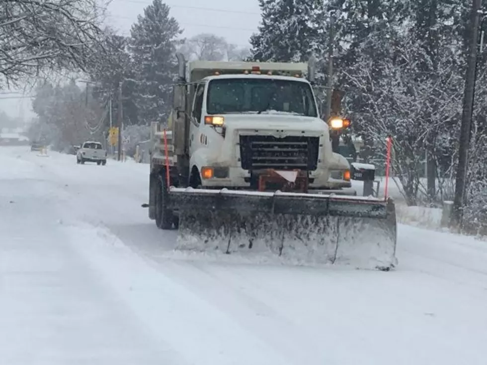
“We do have a pretty strong cold front approaching the area late tonight (Friday),” he said. “There’s a powerful jet stream aloft with about 100 to 150 knot winds and some of that wind will mix down to the surface. We’re anticipating anywhere fro 30 to 50 mile per hour winds in the higher terrain across northwestern and west central Montana and the higher elevations could see gusts of up to 70 miles per hour. In Missoula it will be windy anywhere from 15 to 30 miles per hour with gusts up to 40 miles per hour between 8:00 a.m. and 9:00 a.m. and up through noon on Saturday.”
Nester said the dry December just finished was not unusual for western Montana.
“If you recall last year at this time we only had 10 to 12 inches on the ground by the end of December, and we ended up at the end of the year with right around 60 inches from the end of January through mid-March, so winter has by no means even begun,” he said. “By Friday and Saturday of next week we’re anticipating temperatures to be below normal and there could be more snow on the way, but there is definitely a change in the weather on the way.”
More From KMPT-AM