
Projected Climate Data May Push Easterners to Montana: See the Map
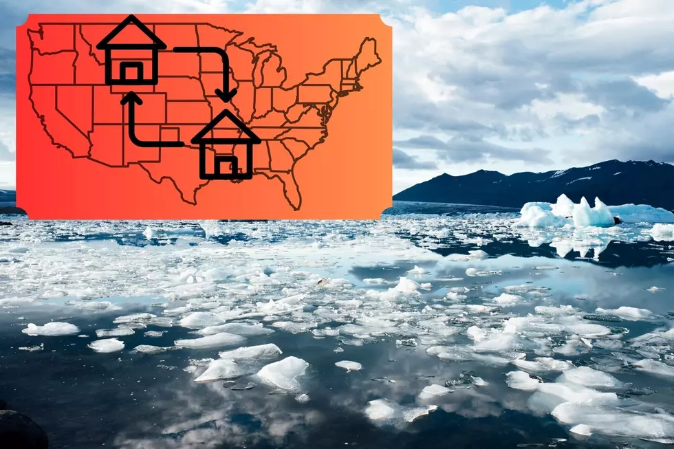
This might be the next reason Montana will see an influx of residents.
Will they give it a catchy name for the history books like the "Sooners" -- the unusual numbers of people who moved to Montana because they were inspired by the TV show "Yellowstone?"
Maybe not, but there probably will be a section in the history books devoted to the people who are displaced because of global warming/climate change.
READ MORE: An Interesting Look at Montanans' Opinions on Global Warming
When I lived in Maine, I remember seeing a map showing what the coastline could look like after a few decades of rising sea levels. The apartment I was living in while looking at the map, according to the map, would have been underwater.
I don't know if this is the same map, but the projections it can show are troubling.
The Maps That Show How Coastlines Could Change
Climate Central has an interesting interactive map that shows projections of coastal risk based on different criteria like time, water levels, temperatures etc.
The map allows for some shocking projections. But what is the projected sea level rise until say, the year 2100?
2 feet, according to noaa.gov.
But many factors play into projections like these. Here's an idea of some of the most dramatic changes. These maps show what a sea level rise would look like if ice in Antarctica is lost, with areas in red being below the tideline.
What 50 Feet of Average Global Sea Level Contribution Would Look Like
What 100 Feet of Average Global Sea Level Contribution Would Look Like
What 200 Feet of Average Global Sea Level Contribution Would Look Like
Again, it's dramatic but look how many major cities would be below the tideline if this projection were to come to fruition. Potentially millions of people would be displaced over time. Montana may not have been welcoming to the influx of residents in the early 2020s but would they welcome people to the state in a scenario like this?
25 costliest hurricanes of all time
LOOK: The most expensive weather and climate disasters in recent decades
Gallery Credit: KATELYN LEBOFF