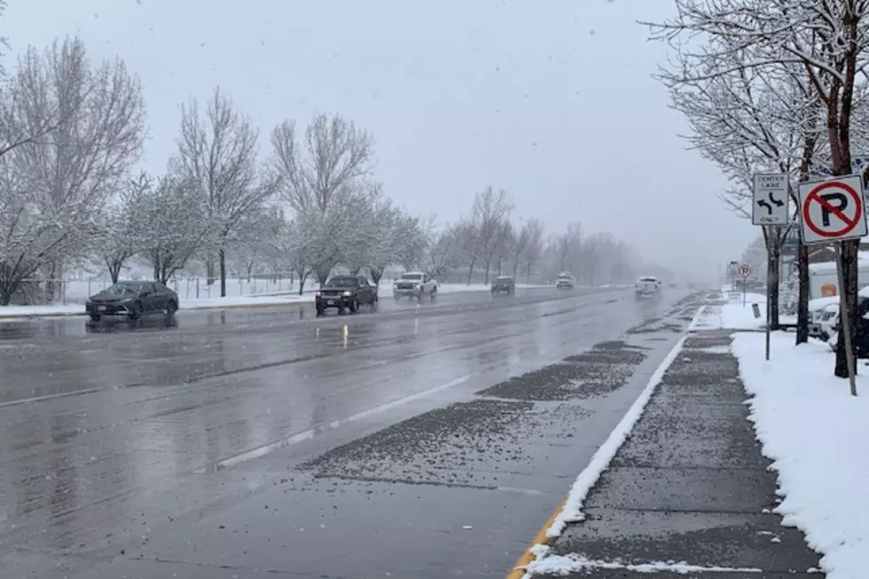
Perfect Storm Systems Bring Heavy Spring Snow to Missoula
Missoula, MT (KGVO-AM News) - Yes, it’s the middle of April, but Missoulians were transported back to winter on Wednesday, as two spring snow systems collided over the Missoula Valley.
I spoke with National Weather Service Meteorologist Brian Conlin about the heavy wet snow that has been falling since early this morning.
Heavy Wet Snow Systems Have Combined Over the Missoula Valley
“For the most part, everything turned out exactly as we expected,” began Conlin. “We expected snow levels to be low enough to allow at least some valley snow, but based off of road surface temperatures, we didn’t expect to see too much accumulation on sidewalks and roads.”
Conlin said it was literally ‘a perfect storm’.
The NWS Said Today Was a 'Perfect Storm'
“It just was perfect timing as two showers came together and collided over the Missoula Valley,” he said. “That brought our intensities up to moderate to high intensity and that overcame the warmer surface and it has allowed for some accumulation, at least on sidewalks but maybe some of the side roads are seeing accumulations as well.”
Conlin computed just how long the spring storm would last.
“So it takes snowflakes about 20 minutes to fall. So this intensity has about 20 minutes and then I would say another 30 minutes, and then it should be done for at least this morning’s portion,” he said. “Then this afternoon expect the typical spring showers where we could get real heavy burst of graupel or maybe even some snow for 20 to 30 minutes at a time from a shower, but you won't it won't be like this by this afternoon.”
Read More: Last Minute Snow Needed to Boost Montana's Water Supply
This Snow Should Be a Memory by Quitting Time Today
Conlin said some of the mountain passes to the south and east experienced heavy snow with some slide-offs reported.
He said by the time people head home from work today, this snow will just be a memory.
LOOK: Biggest snowfalls recorded in Montana history
Gallery Credit: Stacker
