
NWS – Winter Snow and Cold Snap Headed for Western Montana
Visions of an early spring will be interrupted later this week as a winter cold snap accompanied by mountain snow will enter western Montana.
Meteorologist Trent Smith said the cold temperatures will be entering the area this weekend.
“Last Friday we were hitting record highs,” said Smith. “Last week we hit a record 65 degrees, however, this coming weekend it will feel like winter once again, like the depths of January. We’re looking at a fairly strong arctic cold front that’s going to be coming into northwest Montana on Friday and will continue to push through western Montana and even into Idaho from Friday night into Saturday.”
Smith said the primary effect of the front will be much colder temperatures.
“This front is going to bring with it significantly cold air,” he said. “We’re looking at record low maximum temperatures by Saturday for a lot of areas, and that’s putting into context just how cold we’re expecting it to be. This front will also have some really strong winds associated with it, causing some significant wind chills come Saturday morning.”
Smith said the unknown factor with this arctic front is the amount of snow it may bring to western Montana.
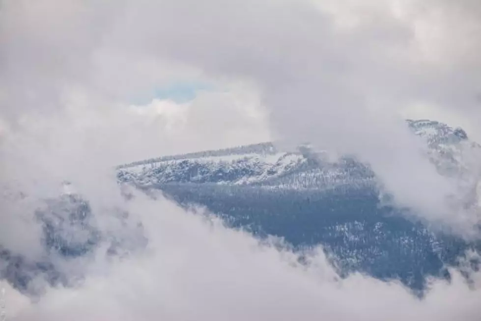
“The bigger thing we’re still trying to figure out is exactly how much snow will be associated with this big arctic front,” he said. “It does look like northwest Montana and areas northeast of the I-90 corridor should see some accumulating snow. In Kalispell we’re looking for two to four inches, but the biggest thing is just going from these nice warm temperatures into that extremely cold air mass.”
Smith said the Missoula valley should be spared the heavy snowfall with from one to two inches possible, with much higher amounts in the western Montana Mountains.
More From KMPT-AM


![Putin Playing Chicken with American Shale Producers [AUDIO]](http://townsquare.media/site/125/files/2020/03/GettyImages-1139368232-e1583860069709.jpg?w=980&q=75)