This weekend's hot summer weather also included a bit of smoky haze over both the Missoula and Bitterroot valleys, reminiscent of last year's wildfire season.
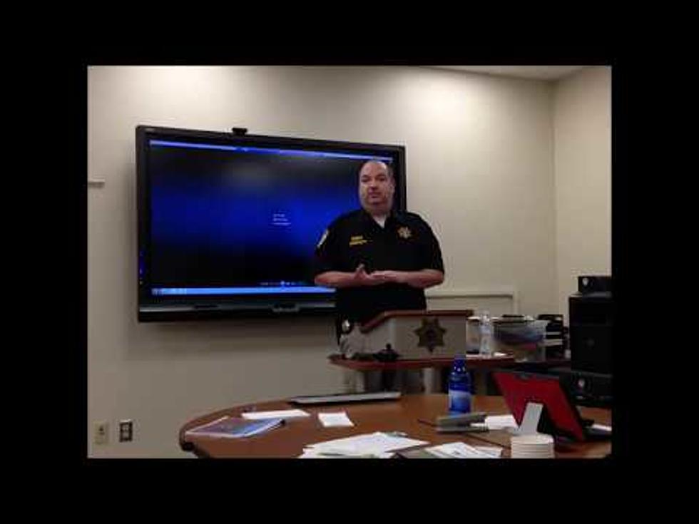
At a public meeting on Sunday at Hawthorne Elementary School, Director of Missoula County’s Office of Emergency Management, Adriane Beck said the worst is over for those evacuated from their homes due to the flooded Clark Fork River.
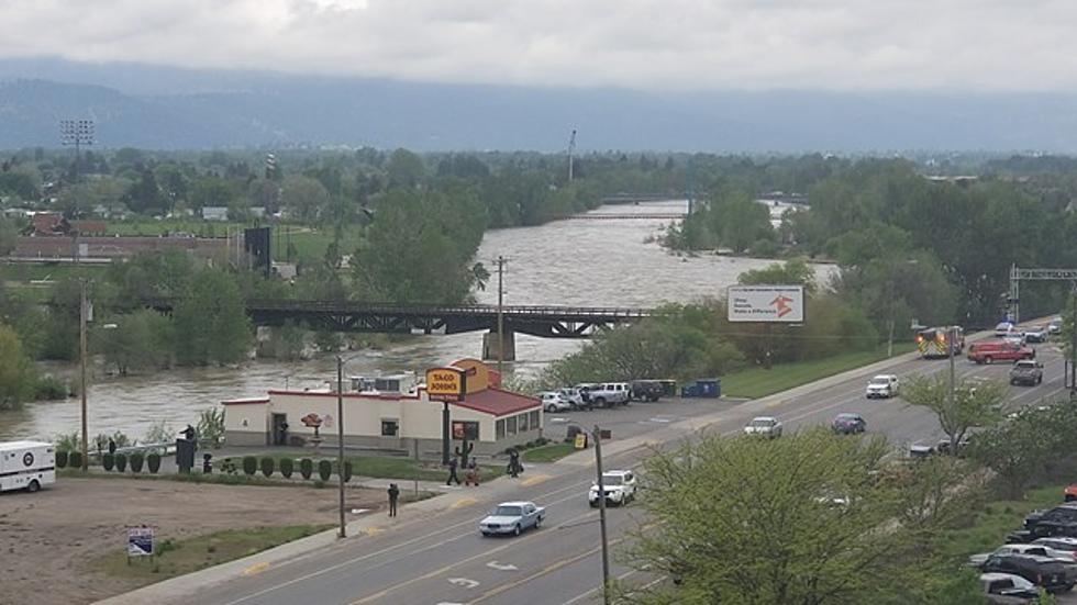
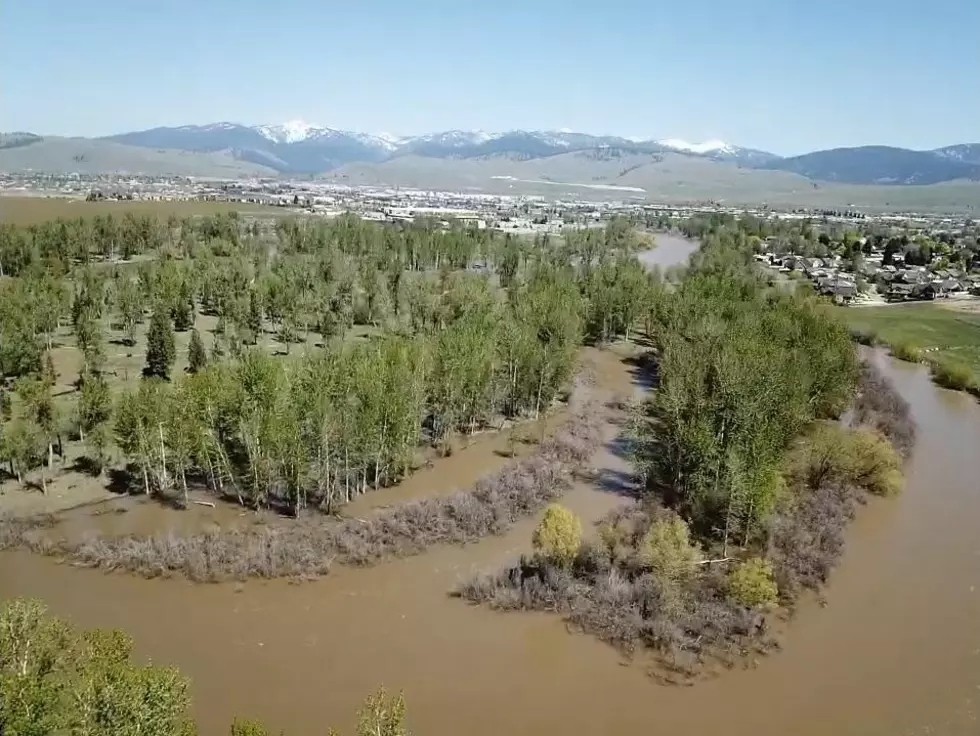
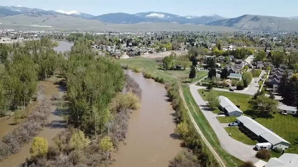
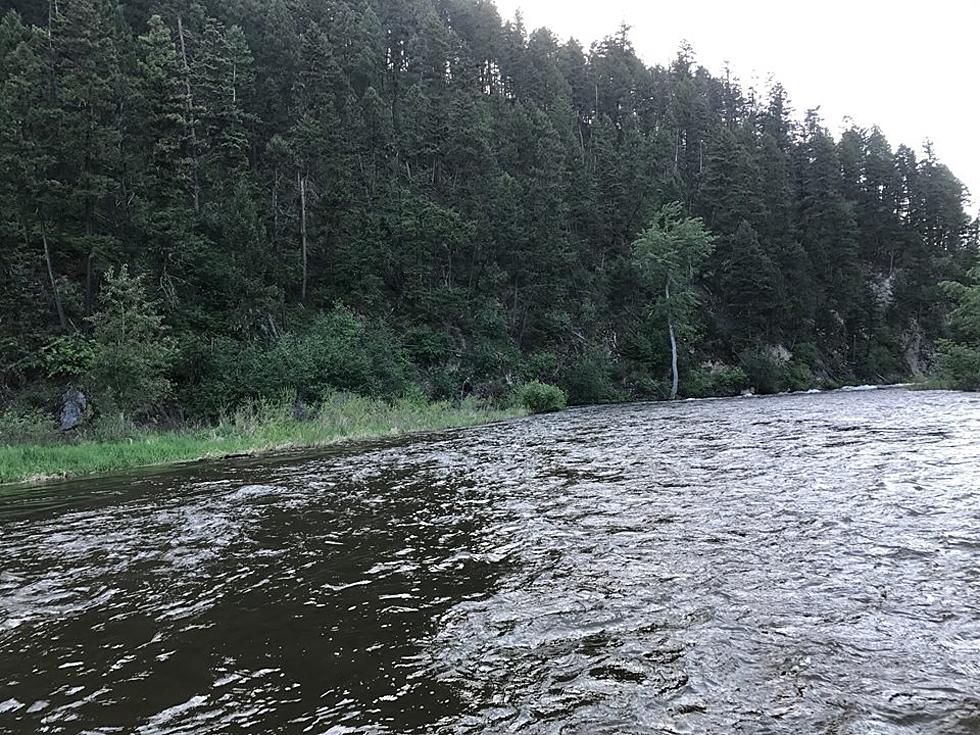
As western Montana heads back to work and school after the long pleasant Memorial Day holiday weekend, area rivers are still at flood stage, but the worst seems to be over.
At Monday’s flood information briefing, the question was asked, ‘When could flood evacuees begin to return to their homes?’, and the answer is a blow to those displaced by the flood.
The daily briefing from the Office of Emergency Management on Thursday focused on historic flooding, streams overwhelming culverts and the threat of flooding near the old Smurfit Stone container ponds.
The Missoula County Office of Emergency Management called an unusual Sunday afternoon press conference to announce historic flood levels headed for western Montana in the next few days that could extend into the summer
The National Weather Service reports that the Clark Fork River has dropped below 10 feet into what is called 'action stage', at 9.6 feet, but is expected to rise again as warm temperatures and rain are expected over the weekend