
A Little Or A Lot – We Will Get Some Snow In Missoula
Forecasting the weather is a challenging job, and even more so when trying to predict just how much snow will fall in a certain place at a certain time.
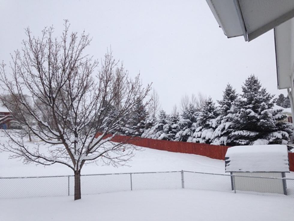
There have been several reports from the National Weather Service recently predicting varying amounts of snow in the Missoula valley from numerous systems that will be moving through the area Thursday night and through the weekend.
Meteorologist Corby Dickerson reacted to the question of just how much snow Missoula can expect.
"I'm really glad you asked," Dickerson began. "It's been a very challenging past couple of days here at the forecast desk. We've been evaluating a lot of conflicting data. A storm system that starts looking like it's going to be as mean as all get out, and ends up purring down a little bit."
Dickerson says one thing is for sure, it will start snowing Thursday night.
"It's going to start snowing here tonight, albeit lightly" he continued. "We're going to get successive waves of moisture that's going to produce pretty steady snow starting tonight with a light amount of snow by tomorrow morning. There may be an inch-ish around Missoula and the northern Bitterroot. Then, tomorrow night, we'll get another wave of moisture that looks a little bit better for snow, so by Saturday morning we could have a couple of inches on the ground. Then the weekend will bring more light snow adding up slowly to another couple of inches possible through Monday morning."
Dickerson said the major snowfall will occur in the mountains of western Montana.
"By the end of the weekend, up at Lolo Pass for example, we'll probably have up to two feet of snow on top of what's already up there," he said. "As you move up into the Seeley Swan and move south to Lost Trail you'll probably get similar amounts of snow."
Dickerson said more bands of snow will move through the area and much colder temperatures will spill into the area by the middle of next week.
"It could be some pretty good cold for this time of year," he said.
More From KMPT-AM