
LISTEN – Two Wet Weather Systems To Impact Western Montana
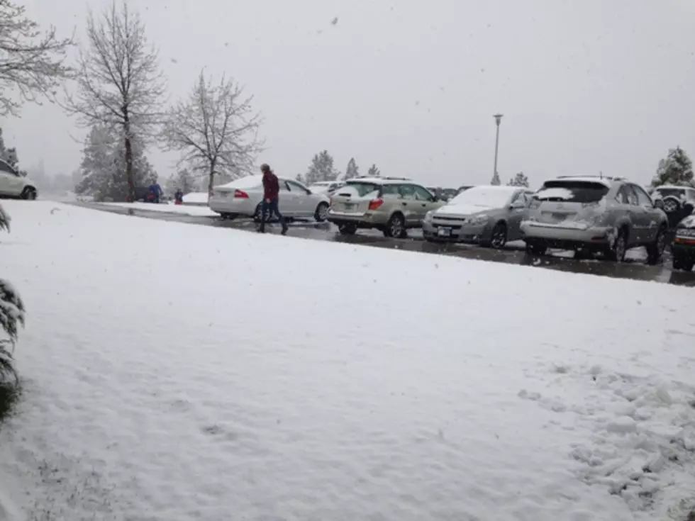
The National Weather Service is predicting a wintry mix of rain and snow headed toward western Montana in the next few days.
Meteorologist LeAnne Allegreto said the first system is due to arrive Thursday.
"This looks like a weather system that will come in two parts," Allegretto said. "The first will start on Thursday and is probably going to last through at least Friday morning. That will entail mountain snow and blustery winds, so there'll be reduced visibility over the mountain passes because of blowing snow. The valleys will see mostly rain, and that will continue through Thursday night into Friday morning."
Allegretto said there will be a brief respite from the wet weather, until Friday night.
"Things will start ramping up again starting Friday night through Saturday, and when that happens, everywhere will get snow, from the mountains down to the valleys," she said. "Accumulation in the valleys will be on the lighter side, but the roads will freeze and make driving difficult, while mountain passes will get moderate to heavy snow."
Allegretto said the mountains will get a total of one to two feet of snow, but even higher amounts closer to Bozeman.
More From KMPT-AM


![Icy Roads Lead to Confusion About School and Bus Delays in Missoula [AUDIO]](http://townsquare.media/site/119/files/2014/02/School-bus-on-icy-road.jpg?w=980&q=75)
![Freezing Rain Leaves Streets Icy for Tuesday Driving [AUDIO]](http://townsquare.media/site/119/files/2013/12/icy-road-lisaw123-630x421.jpg?w=980&q=75)
![Winter Storm Warning – Wet Roads Will Freeze Creating Dangerous Conditions [AUDIO]](http://townsquare.media/site/119/files/2013/12/blowing-snow-iowa_spirit_walker-630x472.jpg?w=980&q=75)
